County of Minburn
TAKE A CLOSER LOOKThe County of Minburn has a population of nearly 3,084 and is located 45 minutes east of Edmonton. The countryside is full of rich farmland with bountiful wildlife, beautiful scenery and miles of peaceful country roads. Interspersed throughout are small and friendly communities including the hamlets of Lavoy, Ranfurly and Minburn.
ROADTRIP ADVENTURES
View our interactive map and get started on your trip along Highway 16!
- See the Roadtrip Game Sticker Stations
- Events along this Route
- Deals & Offers
- Recommended Businesses
Learn More About the ROadtrip Adventure Game
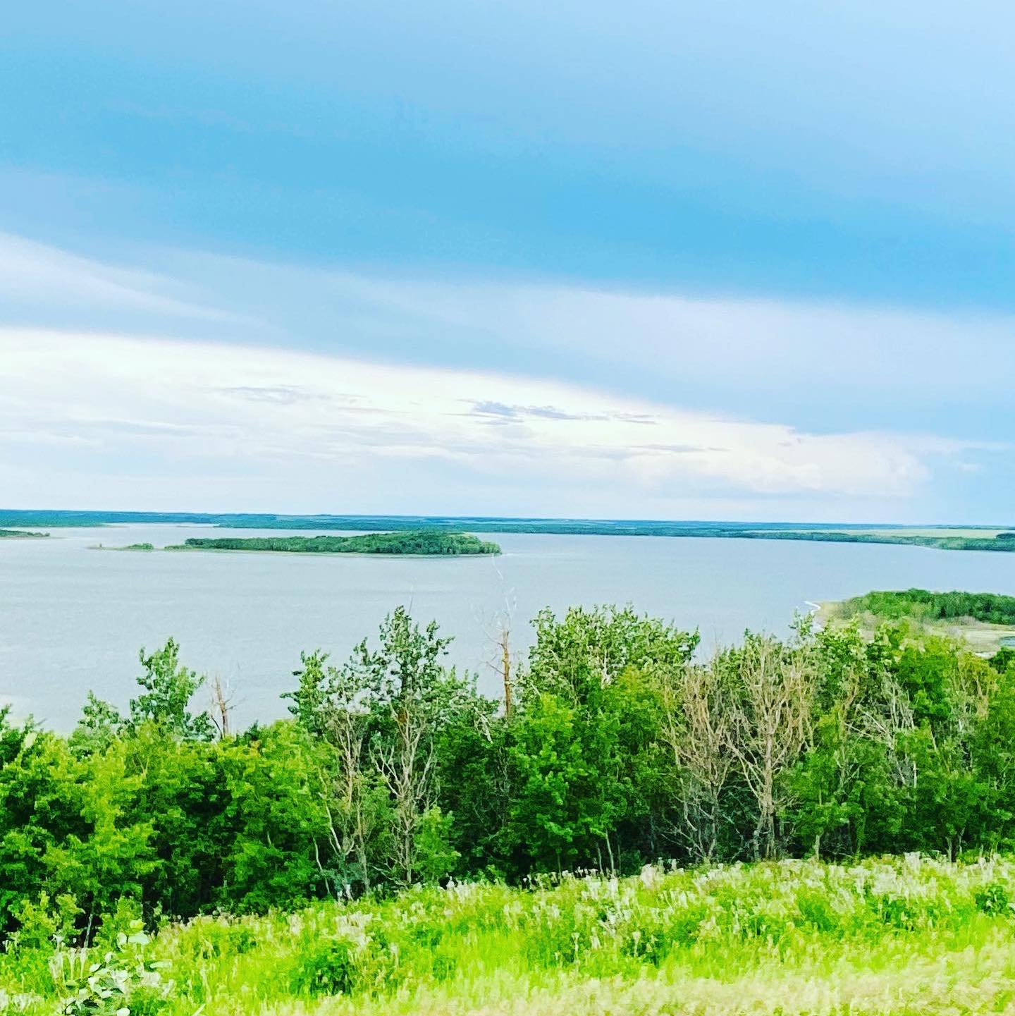
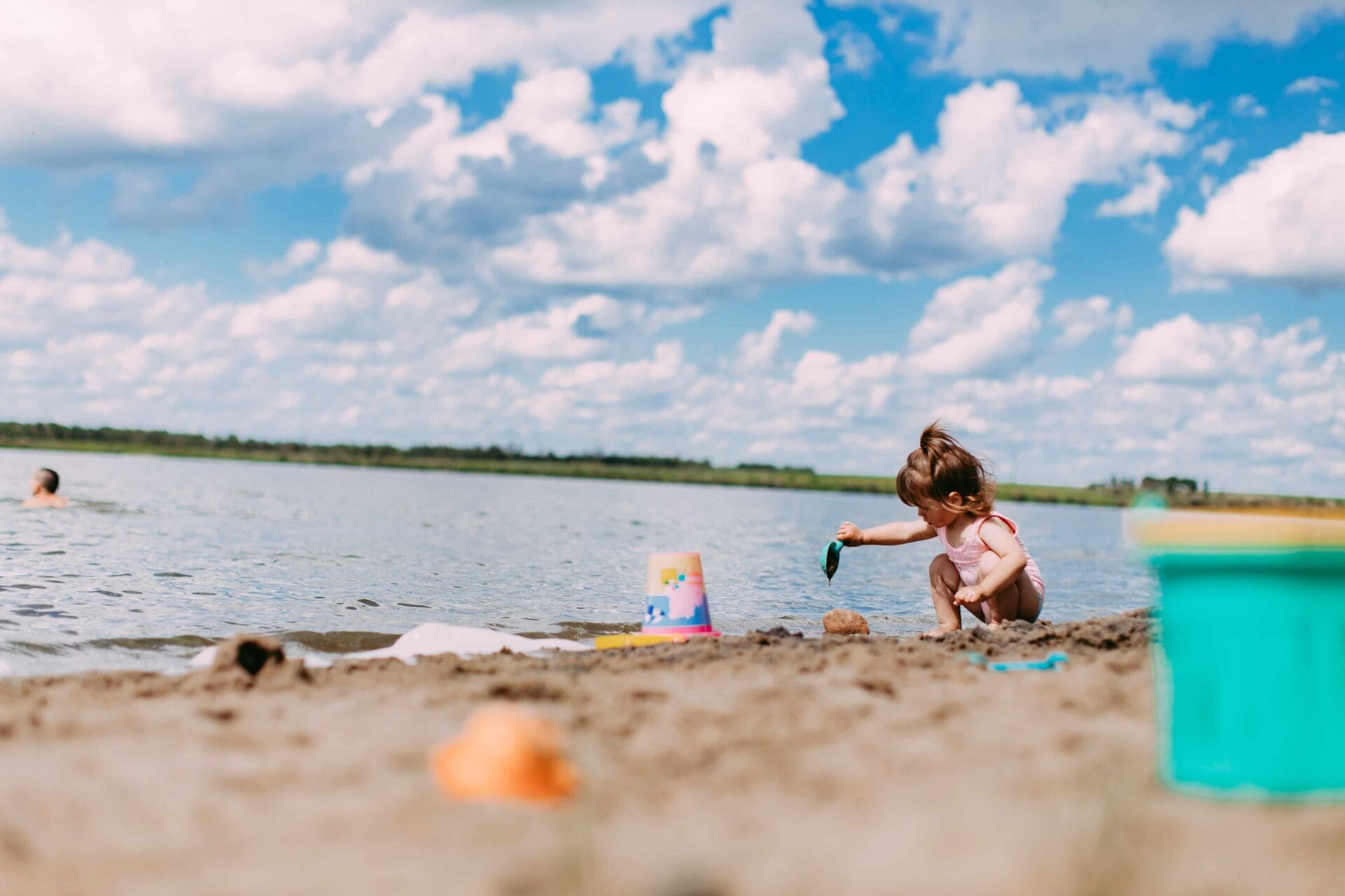
Wapasu Recreation Conservancy Park
The Wapasu Recreation Conservancy Park near Innisfree aims to preserve and protect the wildlife habitat in and around the Lake. Wapasu Lake is a known migratory stop for white swans and countless wildlife species.
Accommodations
Find Places to Stay In & Around Minburn.
Learn More
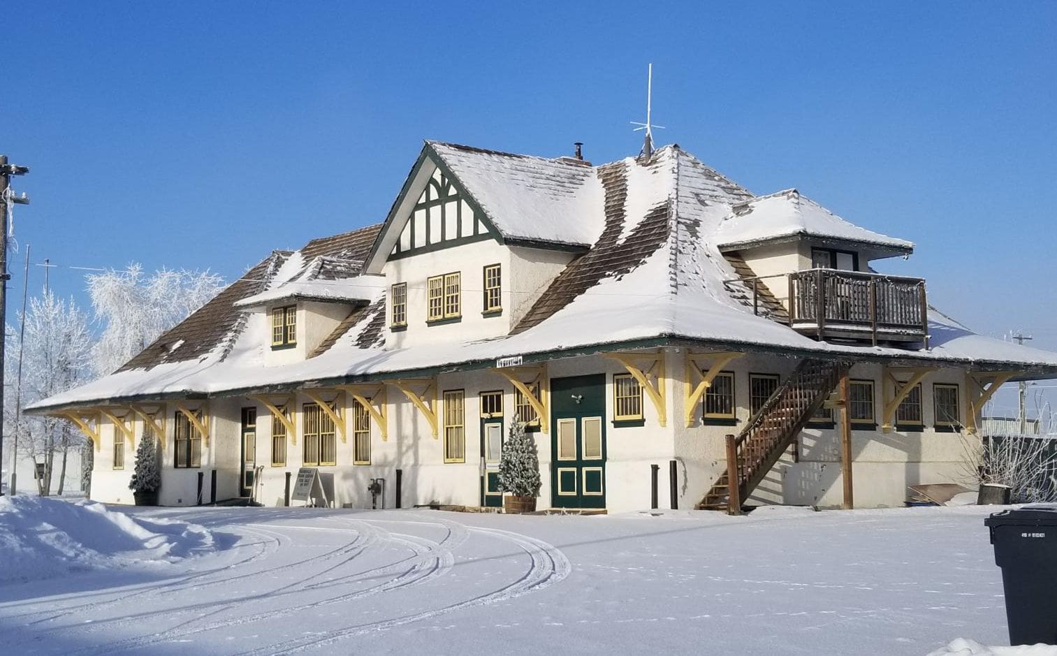
Minburn County Office
Address: 4909 50 Street, Vegreville, AB
Phone: 780-632-2082
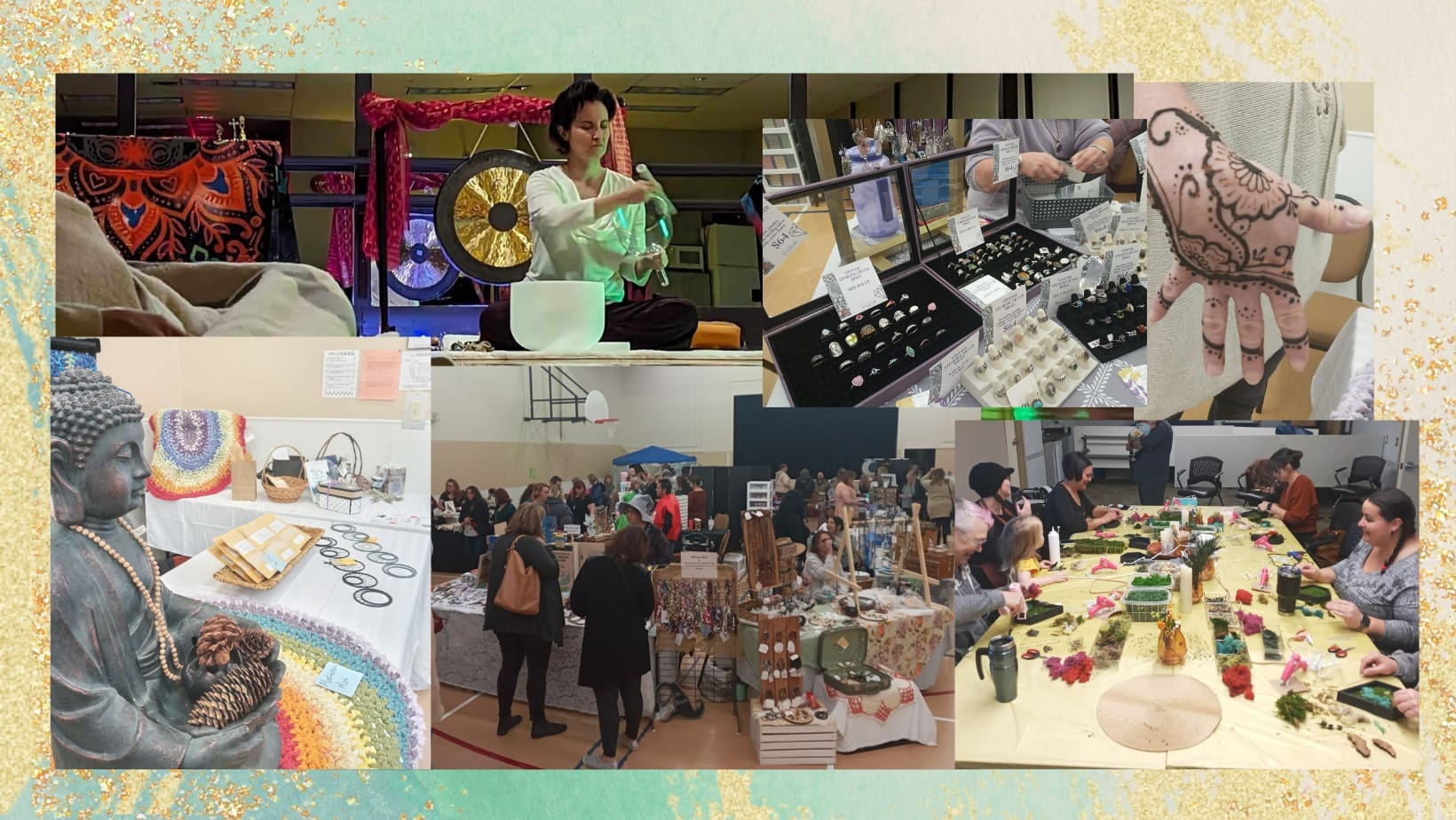
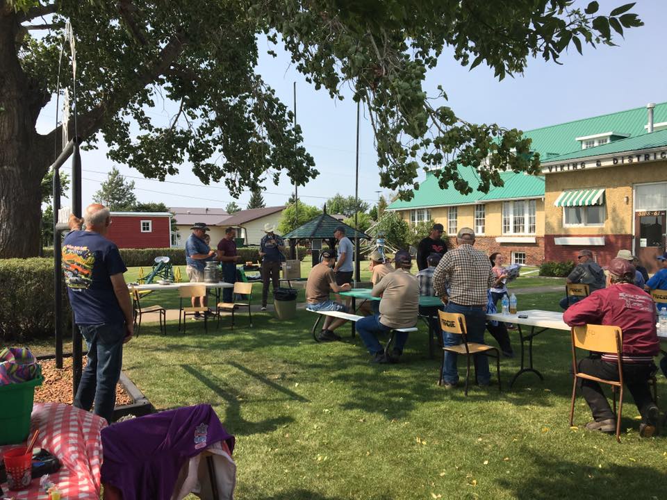
Attractions & Events
Get a feel for the area's history when you visit Ranfurly Museum, uniquely housed in the old school, filled with artifacts and treasures. Ranfurly Spring Rodeo Series features barrel racing events in April, May and June. Be sure to take the kids to Ranfurly Agricultural Fair in August.
Outdoors
Heading east just outside of Vegreville on Highway 16A is the internationally recognized Rotary Peace Park. It features a Peace Grove of 12 trees, where you can relax and enjoy the park. It offers a large picnic area, shelter with a fireplace and a covered BBQ area that can be reserved for private functions. On the southside of Highway 16 by Vegreville you can enjoy many species of birds while fishing at the Rainbow Park Reservoir. This scenic parcel of land boasts a man-made lake stocked with trout. Keep heading east on Highway 16 by the hamlet of Lavoy and you will see Akasu Hill. This Hill is a historical site encompassing both Akasu Lake and Akasu Hill. The Hill was a rest stop for native tribes, Akasu being the Cree Indian word meaning "sick". It is believed the name originates from natives who got sick drinking the water from the lake and the hill was where they came to perish. Akasu (Sickman Hill) is the highest geodetic elevation on the Yellowhead Highway between Edmonton and Winnipeg, Manitoba (2500 ft. above sea level). Continue heading east to the Wapasu Recreation Conservancy Park near Innisfree aims to preserve and protect the wildlife habitat in and around the Lake. Wapasu Lake is a known migratory stop for white swans and countless wildlife species. Trails are developed to the summit of the natural elevation that provides a panoramic view of the lake, and surrounding area for nature enthusiasts. Enjoy the day-use and recreational area along the southeast shores of the lake.
ACTIVITIES & ATTRACTIONS
Nearby Along HWY 16Filter Categories
- All
- Agritourism
- Alliance
- Andrew
- anniversary
- Antique Tour
- Ardmore
- Artists & Artisans
- Arts & Performing
- Athabasca County
- Attractions
- ATV Trails
- Bakeries
- Beaver County
- Beaver Hills Biosphere
- bed & breakfast
- Bed & Breakfasts
- Bellis
- Boating / Lake Tours
- Bon Accord
- Bonnyville
- Boutiques
- Boyle
- Breweries, Distilleries & Wineries
- Bruce
- Bruderheim
- Cafe
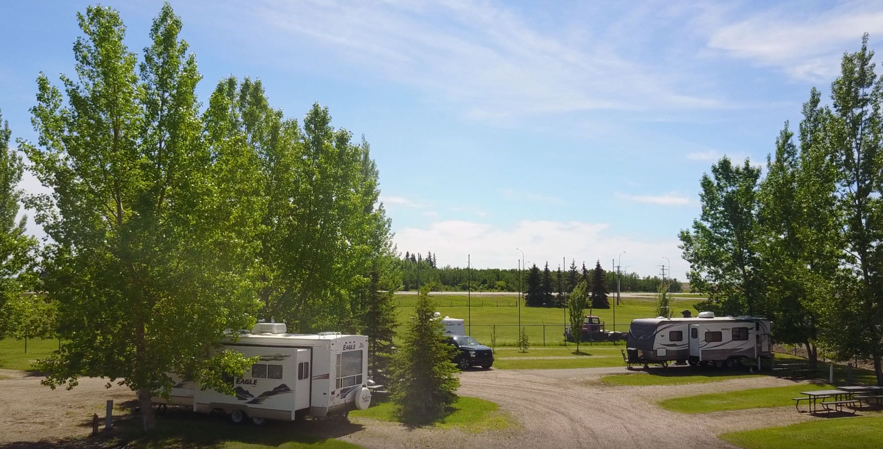
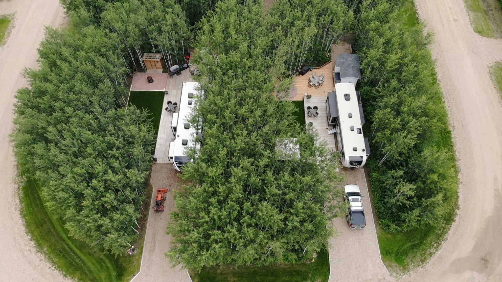
- Campground
- Campground & RV Park
- Camrose
- Camrose County
- Candy Store
- Canoeing
- Casino
- Chauvin
- Chipman
- Christmas
- Christmas Lights
- Clandonald
- Coffee & Tea
- Cold Lake
- Comfort Food
- Conference Centre
- Convenience Store
- Cross Country Skiing
- Culinary Trails
- Daysland
- Derwent
- Desserts and Sweets
- Dewberry
- Downhill Skiing
- Drink
- Drink, Eat & Shop
- East of Edmonton
- Edgerton
- Elk Point
- Entertainment
- Events & Entertainment
- Facility Rentals
- Farmers Markets
- Fashions
- Fine Dining
- Fishing
- Fishing Charters
- Fitness Centre
- Flagstaff County
- Flea Market
- Flower Farm
- Forestburg
- Fort Saskatchewan
- Gas Bar
- Gibbons
- Gifts
- Glendon
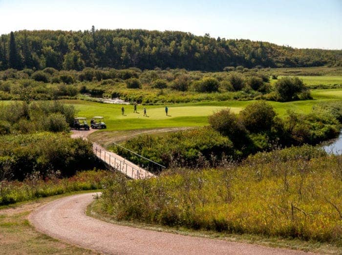
- Golfing
- Greenhouse Tour
- Grocery
- Hairy Hill
- Hardisty
- Hardware
- Hay Lakes
- Health & Wellness
- Highway 13
- Highway 14
- Highway 15
- Highway 16
- Highway 2
- Highway 28
- Highway 45
- Highway 55
- Hiking / Biking Trails
- Historic Site
- Holden
- Home Decor
- honeymoon
- Ice Cream
- Ice Fishing
- Indigenous Experiences
- Indoor Recreation
- Innisfree
- International Flavours
- Interpretive Centre
- Irma
- Iron Horse Trail
- Itinerary
- Josephburg
- Killam
- Kitscoty
- Lac La Biche
- Lac La Biche Region
- Lakeland Region
- Lakeview
- Lamont
- Lamont County
- Leduc County
- Legal
- Liquor Store
- Lloydminster
- Local Art
- Local Food
- Lougheed
- Major Attraction
- Major Event
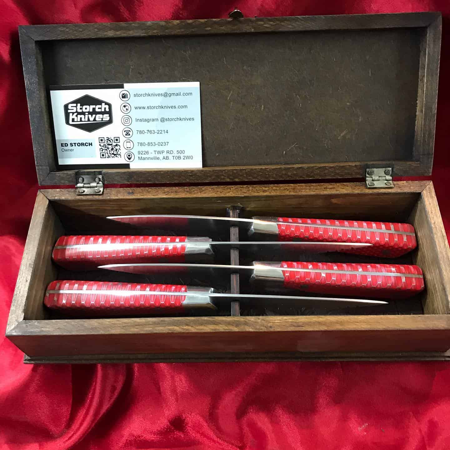
- Mannville
- Marwayne
- MD of Bonnyville
- Meat Markets
- Media
- Minburn County
- Mini Golf
- Miquelon Provincial Park
- Morinville
- Movie Theatre
- Mundare
- Museums
- Music & Concerts
- Myrnam
- National Park
- Native Crafts
- North of Edmonton
- North Saskatchewan River
- Northeast of Edmonton
- Outdoor Adventures
- Paradise Valley
- Parks & Trails
- Performing Arts Theatre
- Pet Boutique
- Photography
- Plamondon
- Ponoka
- Provost
- Quilt Shop Tour
- Quilting Tour
- Radway
- Redwater
- Rentals
- Restaurants
- retreats
- Retreats
- Roadside Attraction
- Roadtrip Game Sticker Station
- Roadtrip Reward Stop
- Roadtrips
- Round Hill
- RV Parts
- RVers
- Ryley
- Seasonal Campground
- Sedgewick
- Service & Repair
- Sherwood Park
- Shopping
- Sippin East of Edmonton
- Skating
- Smoky Lake
- Smoky Lake County
- Snowboarding
- Snowmobiling
- Snowshoeing
- South of Edmonton
- Southeast of Edmonton
- Sponsored
- Sporting Goods
- St. Paul
- St. Paul County
- Strathcona County
- Swimming Pool
- Thorhild County
- Tipi Camping
- Toboganning
- Tofield
- Train Excursion
- Tubing
- Two Hills
- Two Hills County
- U-Pick
- Uncategorized
- vacation getaway
- Vegreville
- Vermilion
- Vermilion River County
- Viking
- Vilna
- Visitor Information Centre
- Wainwright
- Waskatenau
- Water Adventures
- wedding
- weekend getaway
- Winter Adventures
- Workshops
- XC Skiing
- Year-round Camping
- Yurt Camping
- Zoo


Loading...
Learn More Today